Project Hero has a limited number of spots available for the 2019 Gran Fondo Series.
EVENT INFORMATION
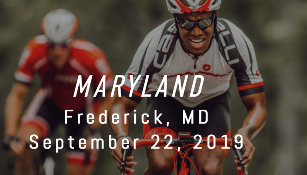
After starting in historic downtown Frederick, Maryland, the 100-mile Gran Route will gain over 10,000 feet of elevation through several different state parks, municipal forests, protected watersheds, and the Catoctin Mountain National Park. After exploring this incredible region, riders will return back into historic downtown Fredrick and be welcome to well deserved festivities at the finish line, complete with great food, beverage, and more fun.
MORE ABOUT THE COURSE
Riders will travel northwest out of the city of Frederick before entering the Frederick Municipal Forest where the first timed section will gain over 1270 feet in a 5.6 mile race segment. At the top riders will be able to relax and enjoy the cool mountain forest as the course plummets over the west side of the mountain range.
The second timed section ascends the southern approach to Harp Hill for a punchy up-down-up-down-up lasting for a brief 1.4 miles and 279 feet of vertical gain. For the next 25 miles and 2500 feet of cumulative gain, the route then follows a mix of small and obscure backroads heading north towards the decommissioned military base of Fort Ritchie.
Time Section #3 is a more dynamic segment and certainly cannot be called a timed climb. Section #3 will require riders to use caution and technical skill with several 90° turns including an old bridge crossing and tarp & chip road surface. The section starts on a wide downhill roadway where for the first 4.9 miles riders lose 500 feet of elevation before hitting the last 1k and 300 vertical feet to the finish of section #3 on top of Hornets Nest Road. Time segment #3 known as The Gully of Darius is a total of 5.5 miles -574 /+386 feet. From here the route heads south and works its way back exploring nooks and crannies in the Catoctin Mountain Range and travels through Catoctin Mountain National Park for 22 miles and +2250 feet of untimed pedaling. Past riders will be able to take special appreciation as they descend Park Central Road, which was used in the opposite direct as race section #2 in past years.
As Gran Route riders approach mile 71 they need to take in a deep breath, shake out their legs and prepare for the hardest segment of the day, (this segment also counts as a time segment for Medio Route riders). Section #4 is 11.4 miles +1203 feet and will test every rider’s ability! The segment starts by gaining 784 feet over the first 4.6 miles and then continues for a challenging and undulating 6.8 miles on top of the mountain ridge on Gambrill Park Road through Frederick Watershed and into Gambrill State Park. After completing time section #4, riders will have over 1000 feet of elevation on their side as they drop off the mountain range and into the valley towards the finish, but completing the route in not over, there are still some hills that are sure to make riders know they are still alive. Riders will return back into historic downtown Fredrick and be welcome to well deserved festivities at the finish line, complete with great food, beverage, and more fun.